Rhodes map
Rhodes is a popular Greek holiday island and the second-largest Greek island in the Mediterranean. It is 80 km long and 38 km wide, with a total area of 1,400 km2. Only Crete is larger.

The distance to mainland Greece is 363 km, while Turkey is only 18 km to the north. At first glance on a map, it looks like Rhodes is a Turkish island, and the island has belonged to both Turkey and Italy within the last couple of hundred years.
The island’s capital is also called Rhodes and can be seen in the top of the map. The most popular holiday resorts are located on the north coast (such as Ixia and Ialyssos) and along the entire east coast (such as Faliraki and Kolymbia). The island’s only airport is marked on the map just west of the holiday resort Kremasti on the north coast.

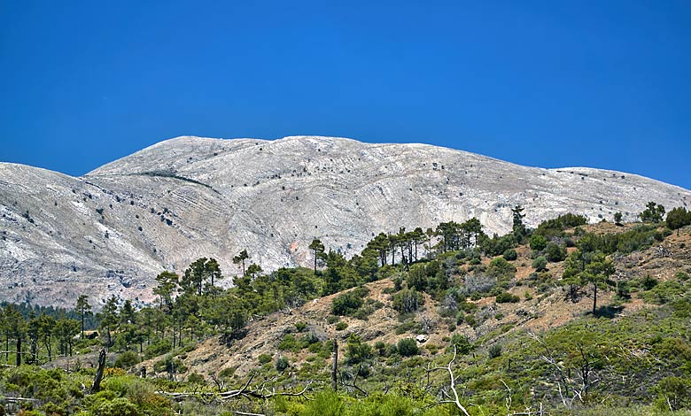
The landscape of Rhodes is mountainous. The highest point is Mount Attavyros (Atáviros) at 1,216 meters. On days with good visibility, it is possible to see all the way over to Crete’s highest mountain Psiloritis. Large parts of Rhodes are covered by forests consisting mainly of Calabrian pine (Pinus brutia) and Italian cypress (Cupressus sempervirens). The most cultivated crops on Rhodes are citrus fruits, grapes, and olives.

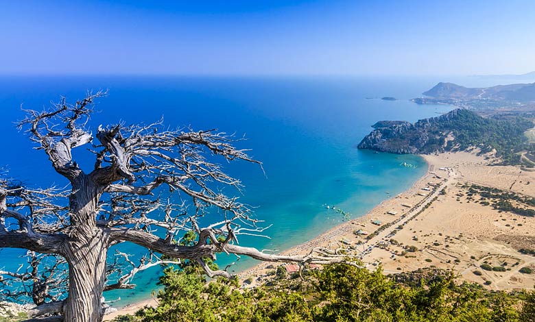
Rhodes also offers impressive natural beaches. The two most beautiful are Tsambika on the east coast and Prasonisi all the way down on the southern tip. At high tide, Prasonisi is a small island, while at low tide it turns into a peninsula. Both beaches are marked on the map.

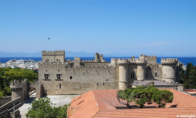
Historically interested people are well served on Rhodes. The old quarter of Rhodes city is one of Europe’s best-preserved medieval towns. The highlight is the Grand Master’s Palace from the 14th century, the Knights’ Street, and the Archaeological Museum. Another historical attraction is the remains of the Acropolis, which is located high above the ancient city of Lindos, which is also interesting to visit. Lindos can be seen in the middle of the east coast on the map above.
